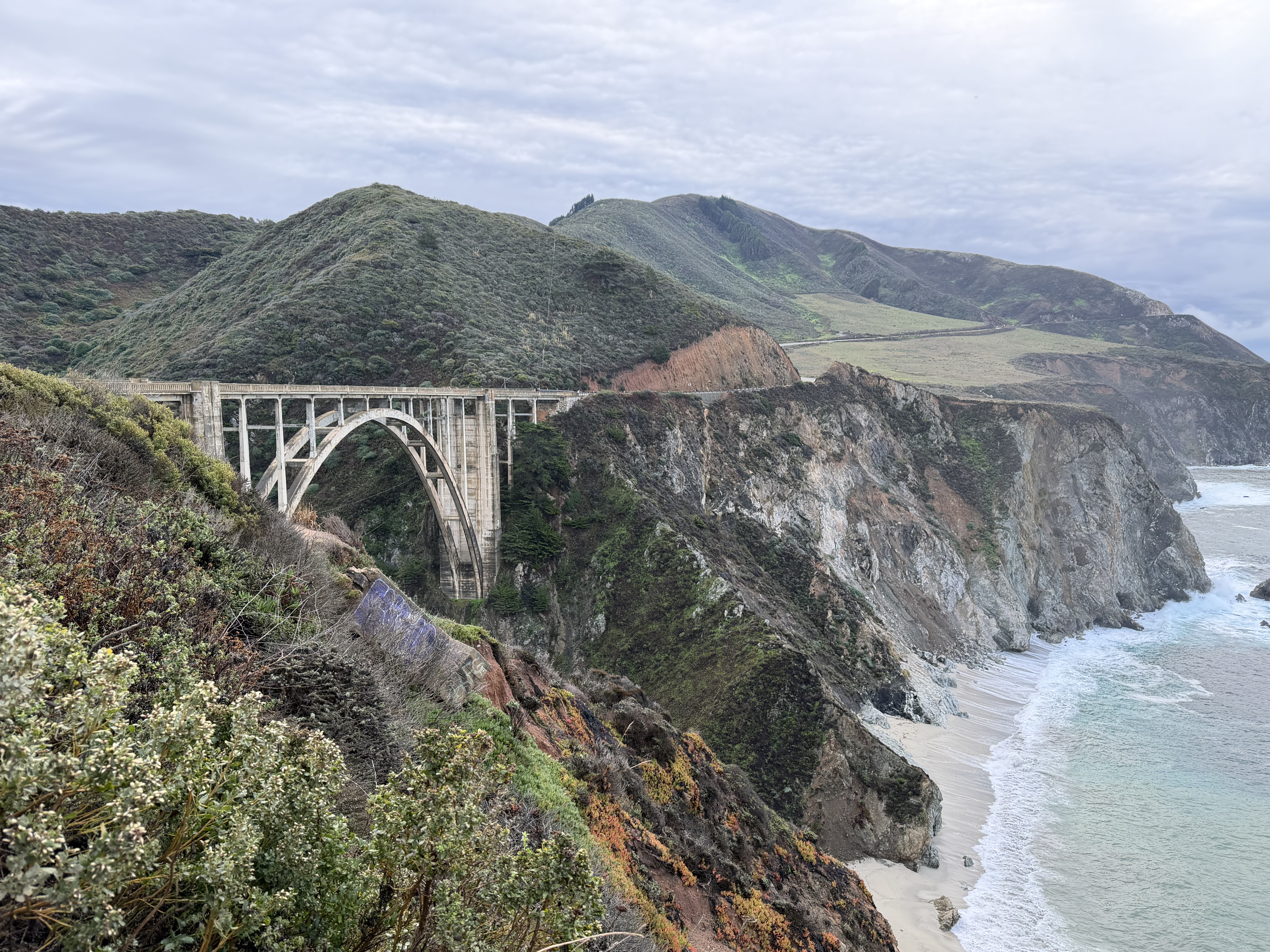
 Bixby Bridge on the Pacific Coast Highway, overlooking the cliffs and coves of Big Sur.
A November road trip along California’s Central Coast can feel like several trips folded into one: inland stone, rainy vineyards, harbor fog, sea cliffs, small towns, and the long curve of Highway 1.
We left Reno before sunrise and drove south along the California Aqueduct, past the still water of San Luis Reservoir and into the rain-washed interior of Pinnacles National Park. By late morning, black-tailed deer were moving near the trailhead while we ate lunch in the car and pulled on rain jackets.
From there, the trip moved west and north: San Luis Obispo, Montaña de Oro, Morro Bay, Paso Robles, Monterey, Big Sur, Point Lobos, and Carmel-by-the-Sea. The weather kept changing. Rain followed us through Pinnacles and Paso Robles. Fog settled over Monterey. The sky opened by the time we reached Carmel. The changing weather became part of the trip itself.
The Central Coast rewards that kind of flexibility. It is a sequence of distinct places, held together by weather, agriculture, marine life, working harbors, and the road itself.
Watch the accompanying film: Where Ocean Meets Stone: A California Central Coast Road Trip
Pinnacles in the Rain
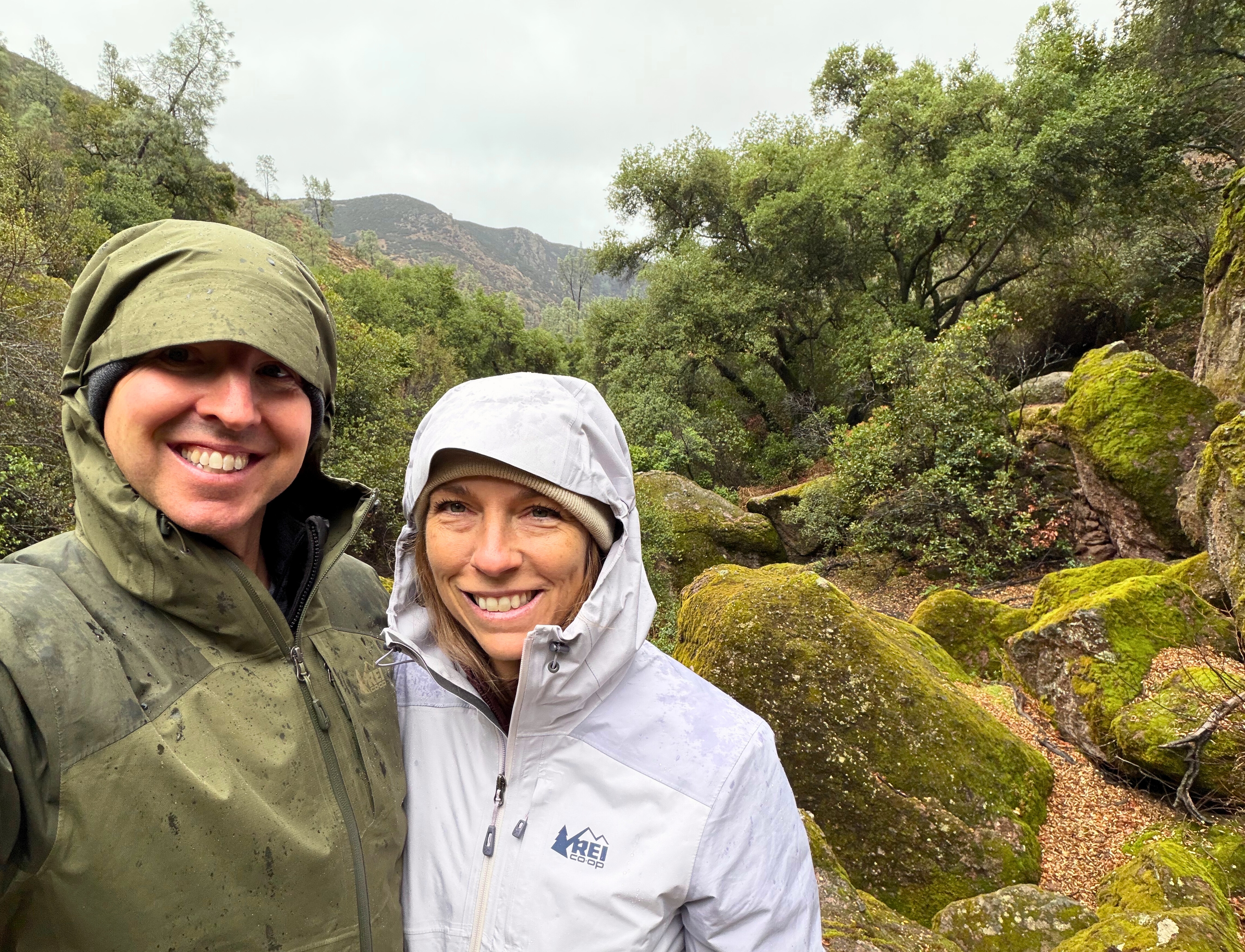 A cold, wet morning on the trail at Pinnacles National Park, where the rain made the moss glow.
Pinnacles National Park was washed in November rain when we arrived. The loop from Moses Spring rose through mist and moss-covered stone, a short climb with more reward than its distance suggests.
The talus cave, shaped by fallen boulders, required crouching under low ceilings and moving through tight passages by flashlight. Water moved through the rocks, and the cave made the landscape feel close and enclosed before the trail opened again.
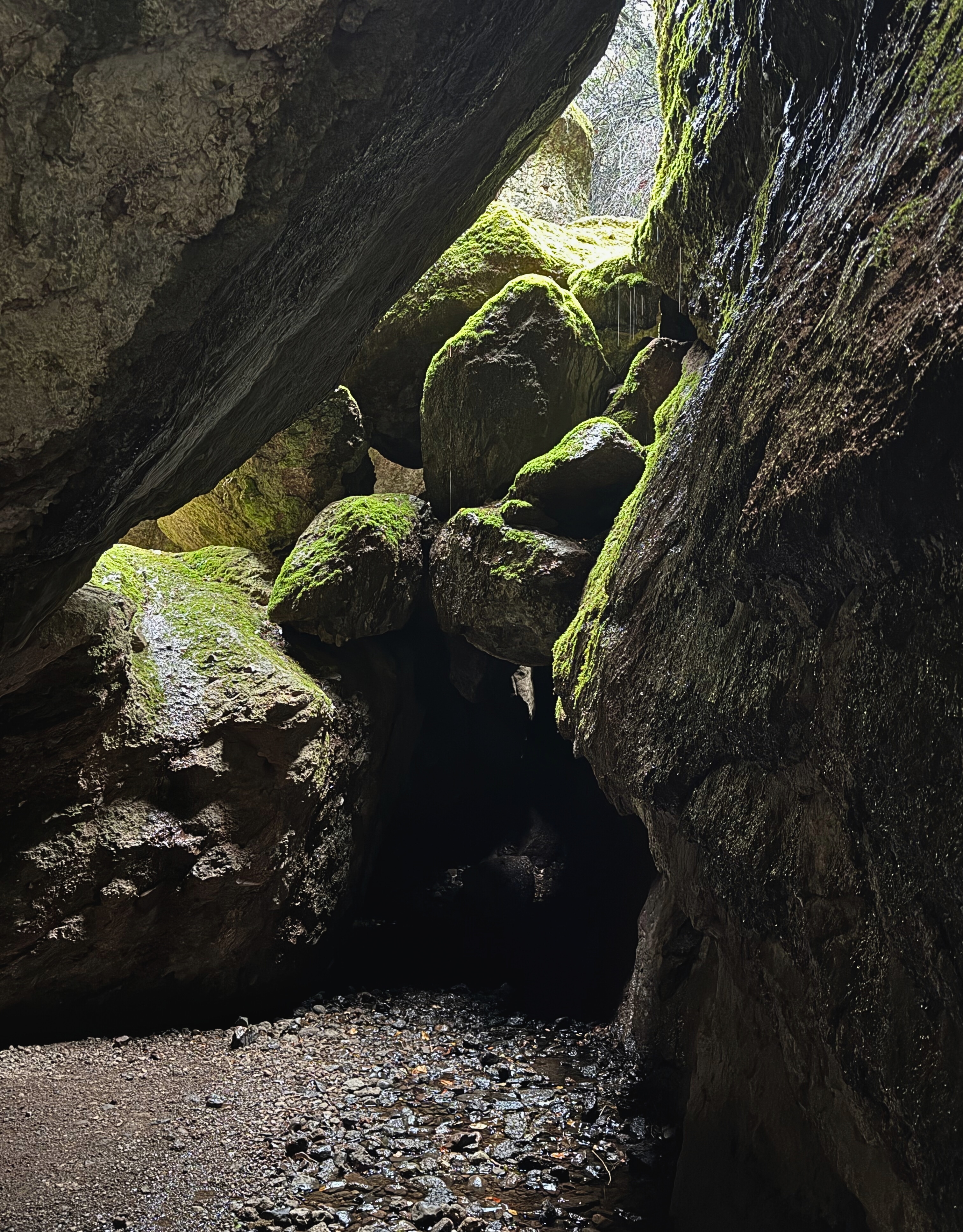 Inside the dark of the talus caves, where water and stone shape the path.
On a weekday in mid-November, the park felt almost empty. The rain made the stone darker, the moss brighter, and the trail more intimate. The rain gave the place a different character than a clear, crowded day would have.
San Luis Obispo and the Coast
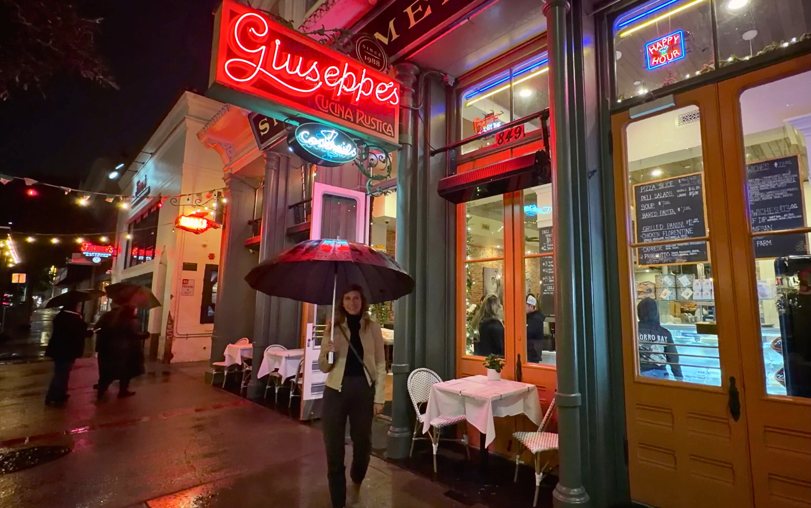 Giuseppe’s in San Luis Obispo as rain fell softly over the old streets.
We reached San Luis Obispo by late afternoon. Rain lined the sidewalks with umbrellas, and the downtown storefronts reflected in the wet pavement. It was a good base for this trip: walkable, comfortable, and close enough to the coast, Paso Robles, and the smaller towns nearby.
Friday opened with clear skies and Stephanie’s birthday. After a morning work block in town, we drove west to Montaña de Oro. The Bluff Trail gave long views across the water, with waves working against the cliffs below. It was an easy reminder that the Central Coast is bluff and rock and wind and open water as much as beach and highway.
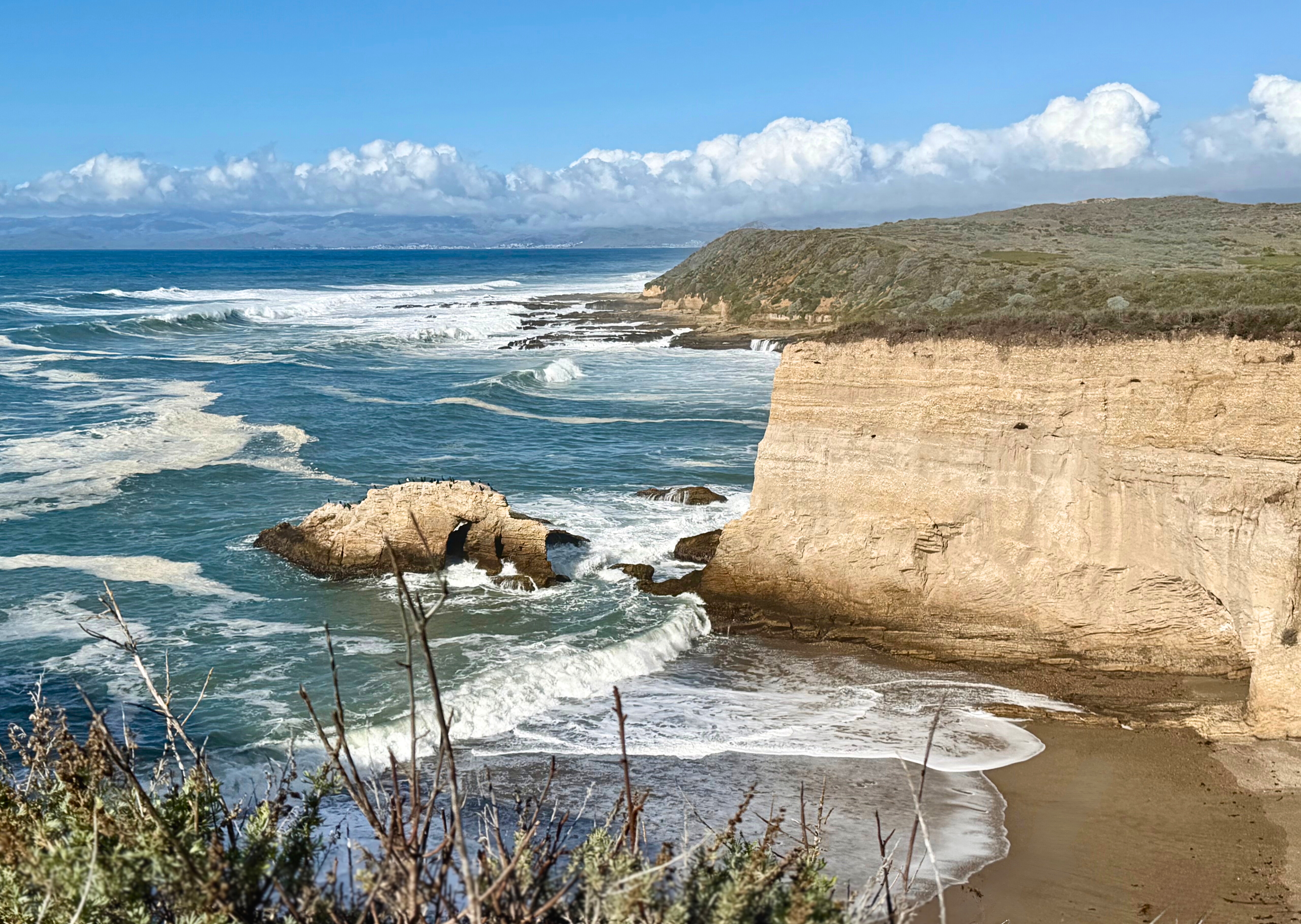 Ocean and cliff meeting at Montaña de Oro State Park.
Later in Morro Bay, we walked the shoreline beneath Morro Rock and watched pelicans, cormorants, and sandpipers move through the late afternoon light.
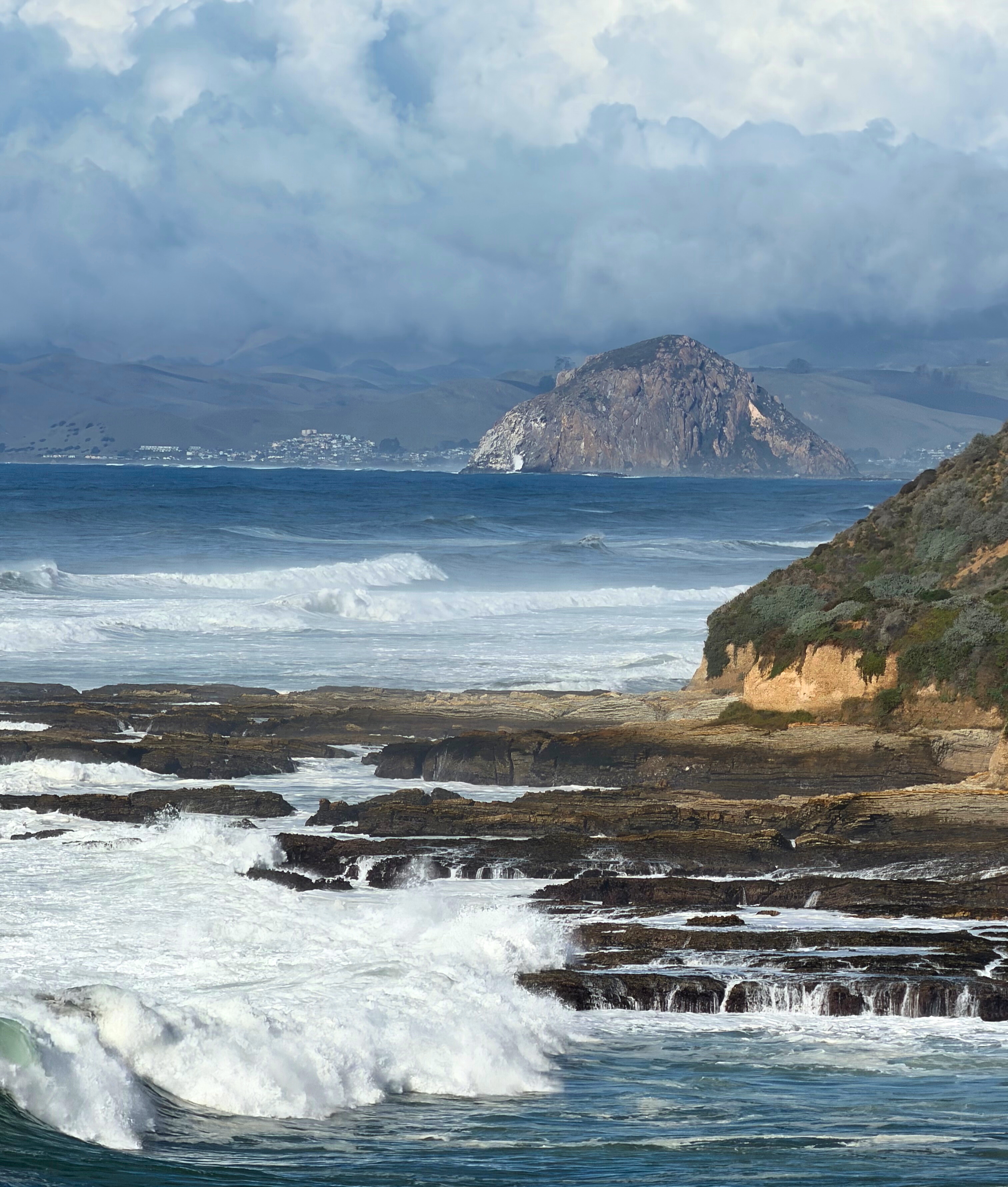 Morro Rock, rising across the water beyond Montaña de Oro.
Back in San Luis Obispo, we walked Mission Plaza and the surrounding streets before driving south for Stephanie’s birthday dinner. This part of the coast works well because the days do not have to be overbuilt. A morning in town, an afternoon on a bluff trail, a shoreline walk, and a good meal were enough.
Monterey, Paso Robles, and the Working Shore
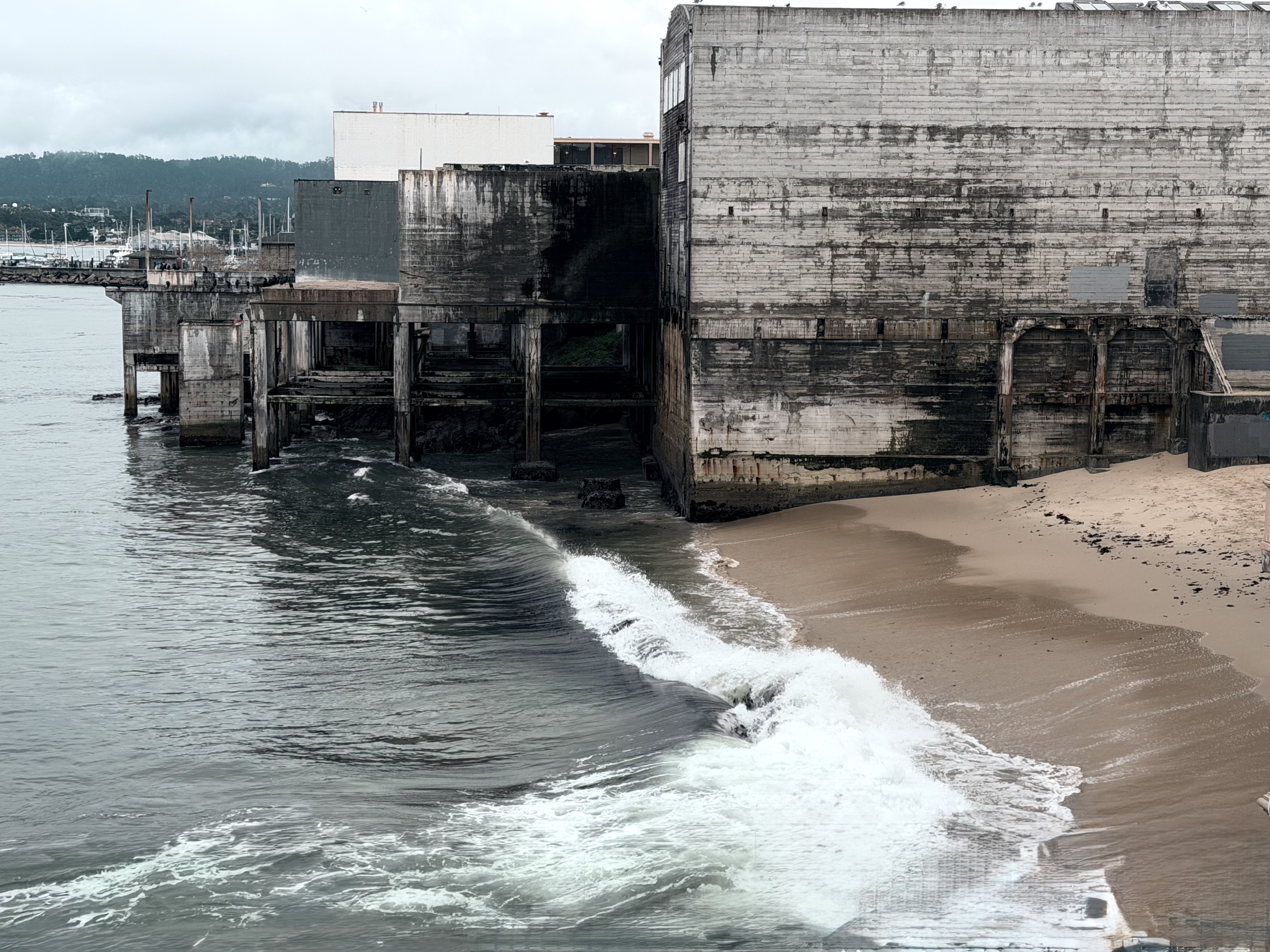 Weathered cannery walls above the tide, where the work that once shaped Monterey still lingers.
Rain returned Saturday morning and carried into Paso Robles, softening the light across the vineyards. Farther north, Monterey greeted us with cold air and fog.
Cannery Row is now cafés, galleries, hotels, and visitor traffic, but the older working shore is not entirely gone. It is still possible to imagine John Steinbeck watching the edges of the place, listening to the language of labor and the sea. His stories turned a fishing town into a portrait of persistence, where people lived by tides, tools, and the demands of work.
The old canneries now hold different things, but the labor that shaped Monterey still lingers around the harbor. Fishermen still mend lines. Boats still move in and out. The sea still has a say in the day.
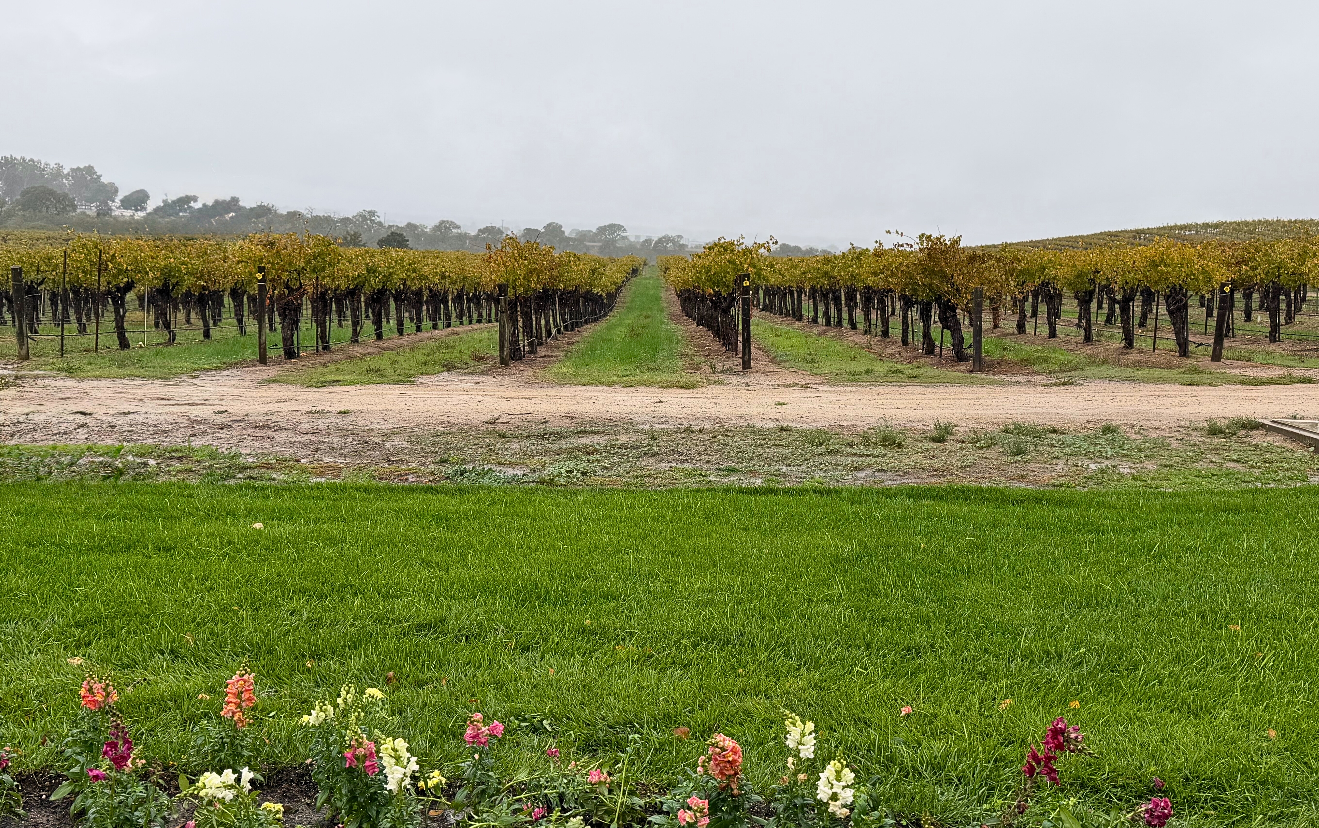 Late autumn vineyards in Paso Robles, with rain settling into the hills.
That same patience appears inland around Paso Robles, though in a different form. Vineyards stretch over limestone soil, and the work there is shaped by weather, timing, and restraint. The coast and the valley produce very different things, but both depend on people reading conditions carefully and accepting that some work cannot be hurried.
Big Sur and Point Lobos
Our final morning began early on Highway 1. Bixby Bridge rose above the surf, and the road kept opening and narrowing with each curve. Big Sur’s reputation is earned: the meeting of cliffs, road, weather, and ocean has unusual force.
At Garrapata State Park, we watched sea otters moving through the kelp while waves broke against the cliffs. Rain found us again at Point Lobos, giving the coves a muted, deeper color. We hiked portions of the South Shore Trail, Bird Island Trail, China Cove, Gibson Beach, and Sea Lion Point. Each turn offered another version of the same elements: water, stone, cypress, birds, seals, and surf.
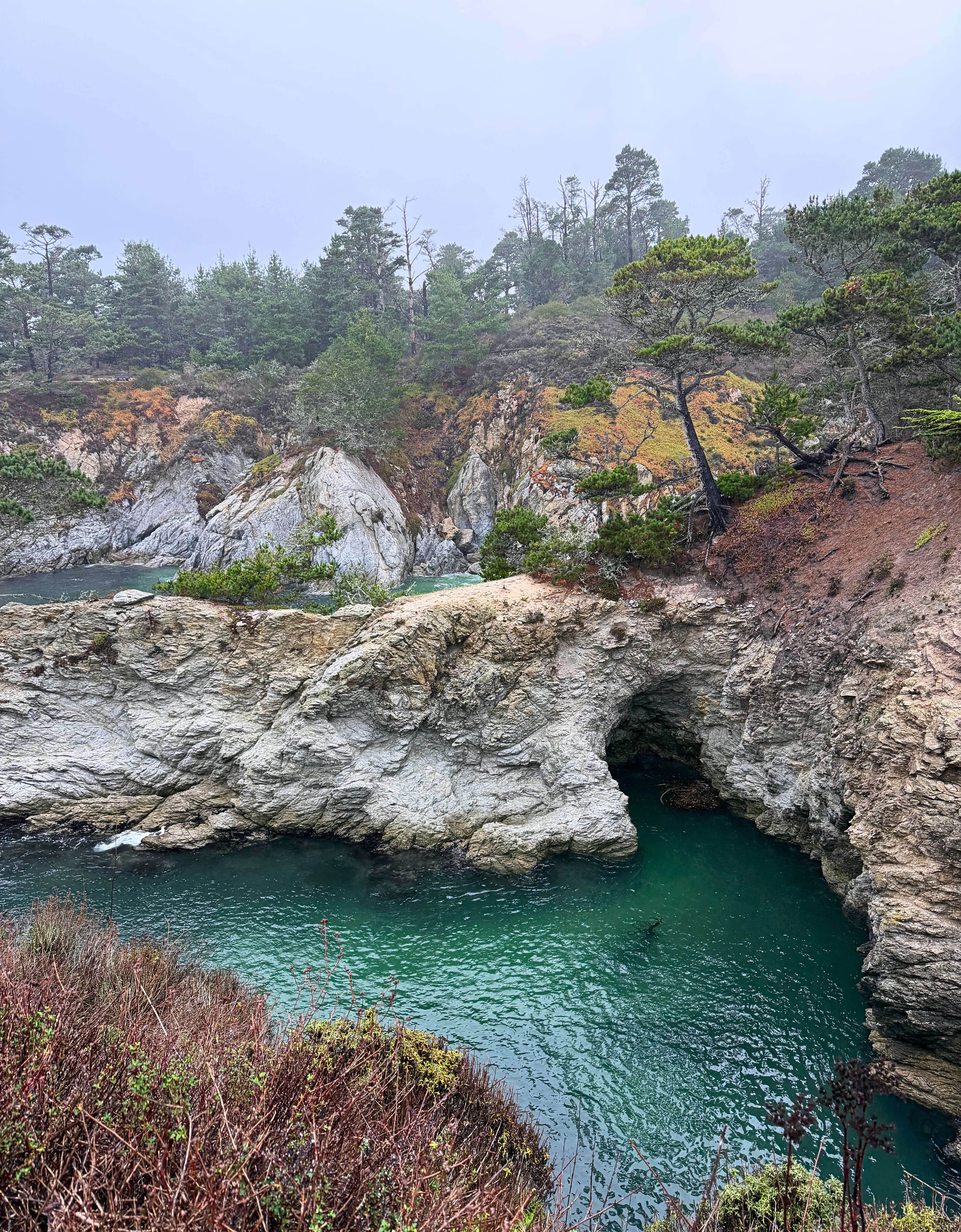 A sheltered cove at Point Lobos, its water deepening into vivid color.
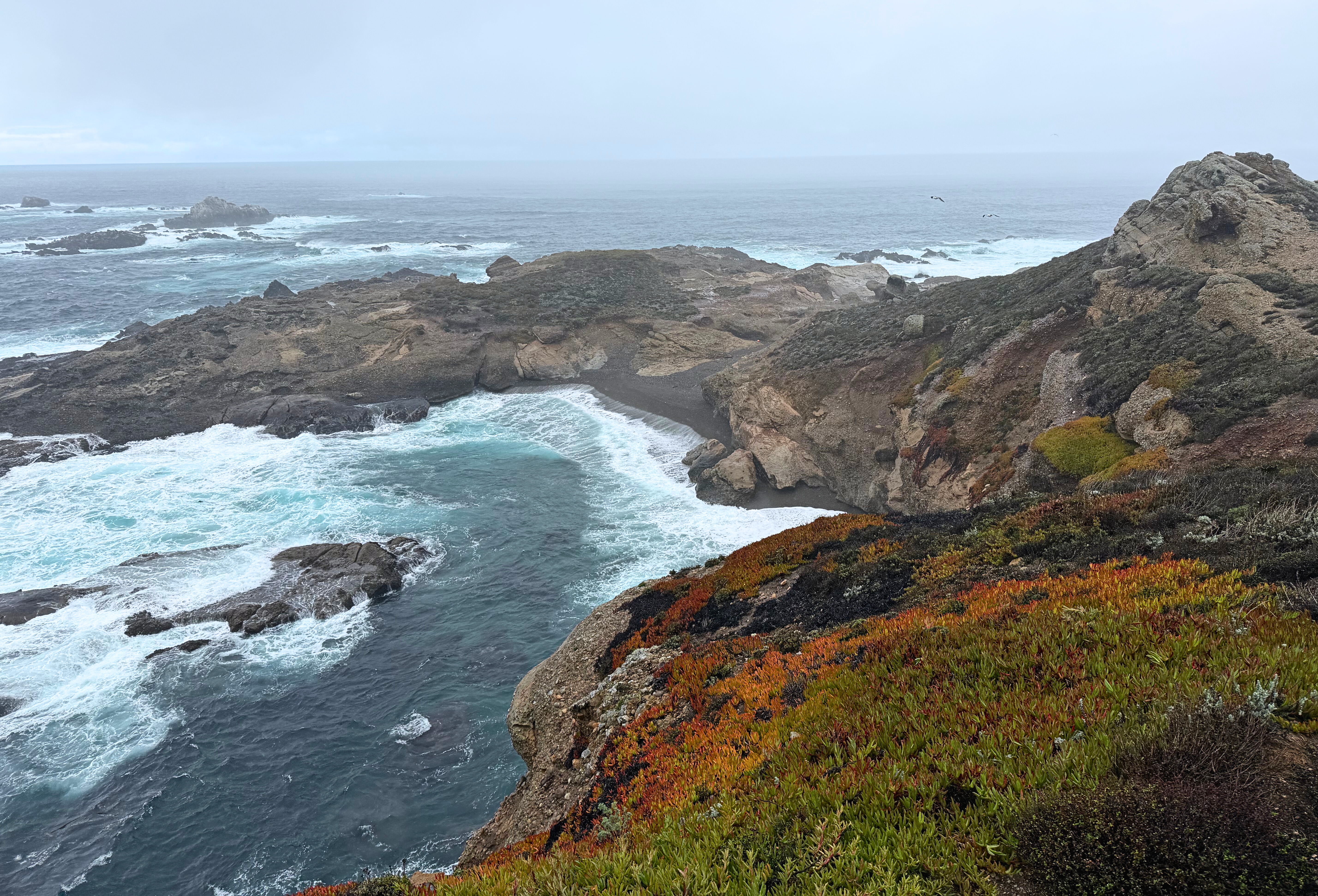 Waves folding over rocks as mist drifted in across the water at Point Lobos.
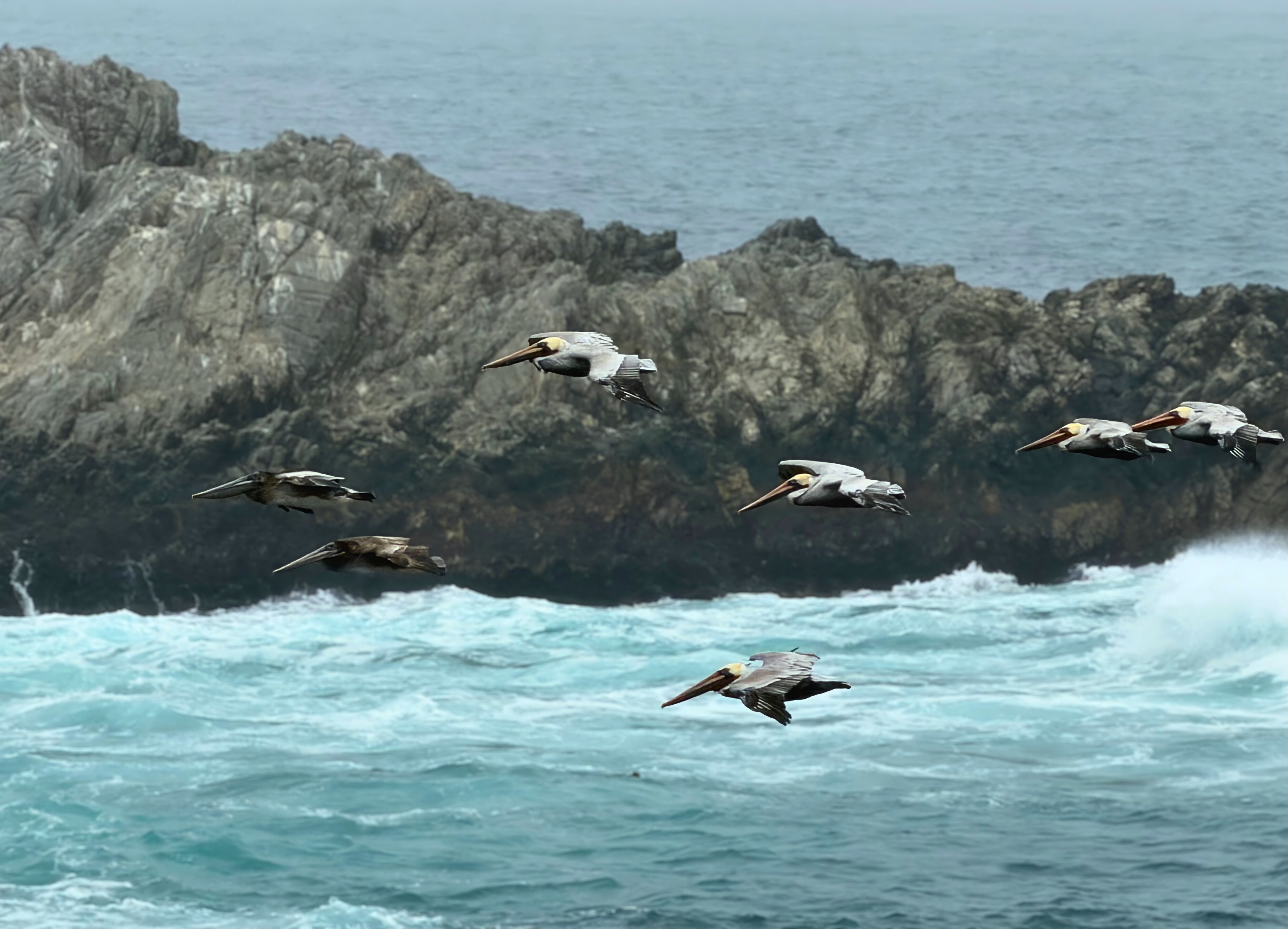 Pelicans riding the coastal wind near Point Lobos.
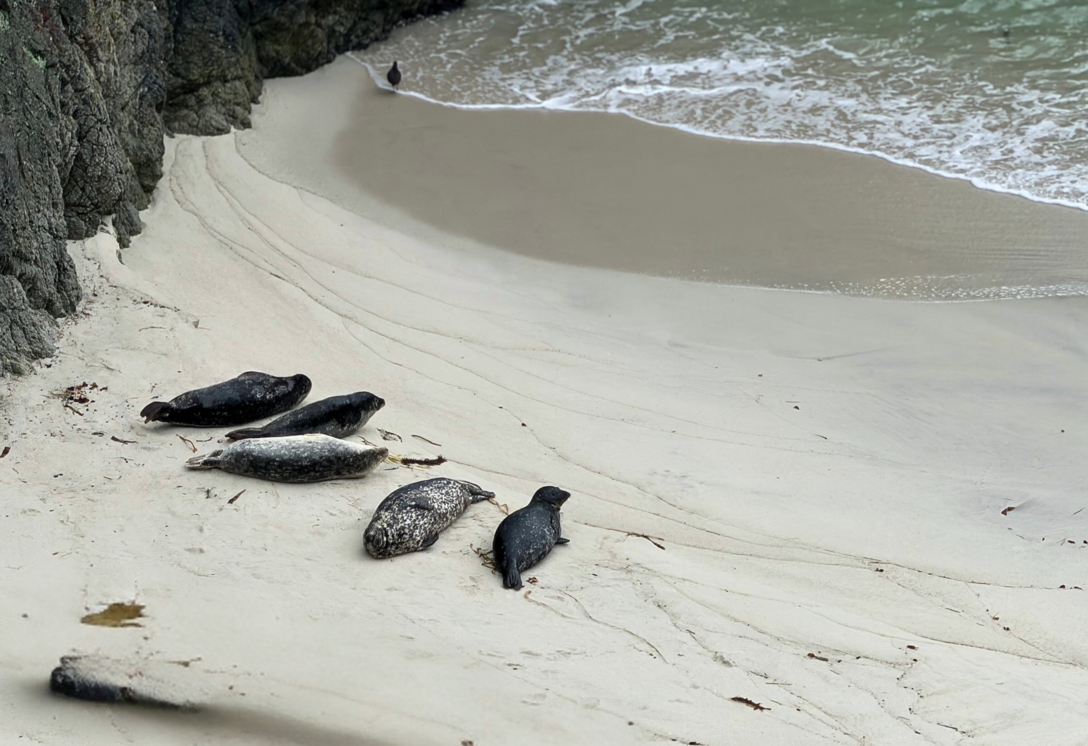 A stretch of white sand where seals rested in the midday tide.
Point Lobos repays time even in drizzle. Maybe especially then. The weather reduced the usual brightness and made the place feel less decorative, more elemental.
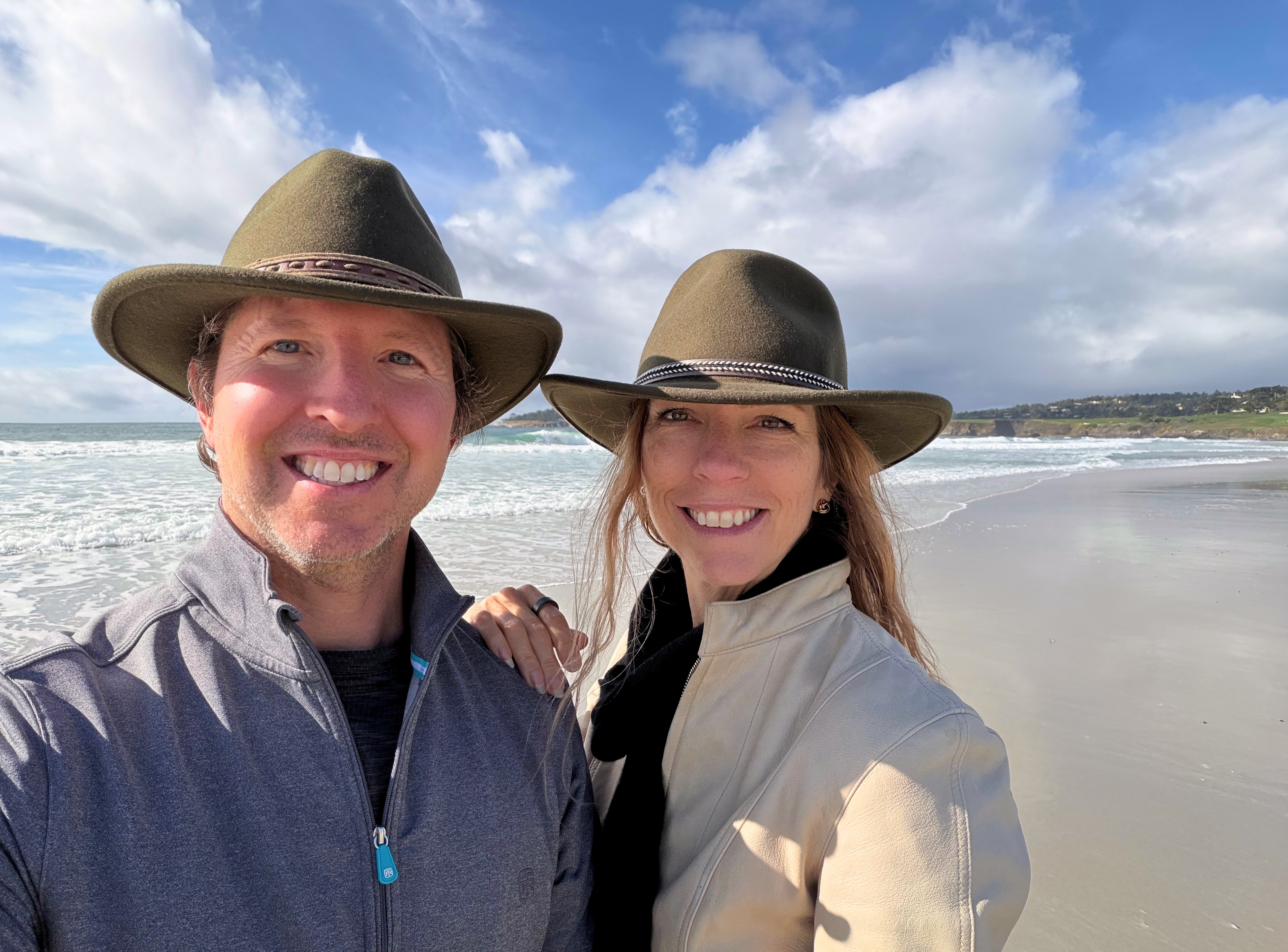 A break in the weather along the Carmel shoreline, with sunlight returning to the water.
When we reached Carmel-by-the-Sea, the sky cleared. The village streets, cottages, cafés, and white-sand beach below made for a gentler close before the long drive back to Reno.
What We Ate
 Ember’s wood-fired scallops, a local flavor rooted in fire, craft, and celebration.
Food gave the trip much of its shape.
In San Luis Obispo, dinner at Giuseppe’s was the right meal for a rainy arrival: lasagna with house-made pasta, tagliatelle Bolognese, Caesar salad, and warm bread with garlic parmesan olive oil in a brick-walled dining room.
Friday began at Kreuzberg California, where strong coffee and breakfast sandwiches made the morning work block easier. Later, High Street Deli provided lunch for a picnic at Spooner’s Cove after the Bluff Trail.
Stephanie’s birthday dinner was at Ember in Arroyo Grande. The meal brought the region into focus without feeling fussy: wood oven roasted scallops with leek and winter squash puree, grilled pollo al mattone, and toasted marshmallow ice cream cocoa cake to finish.
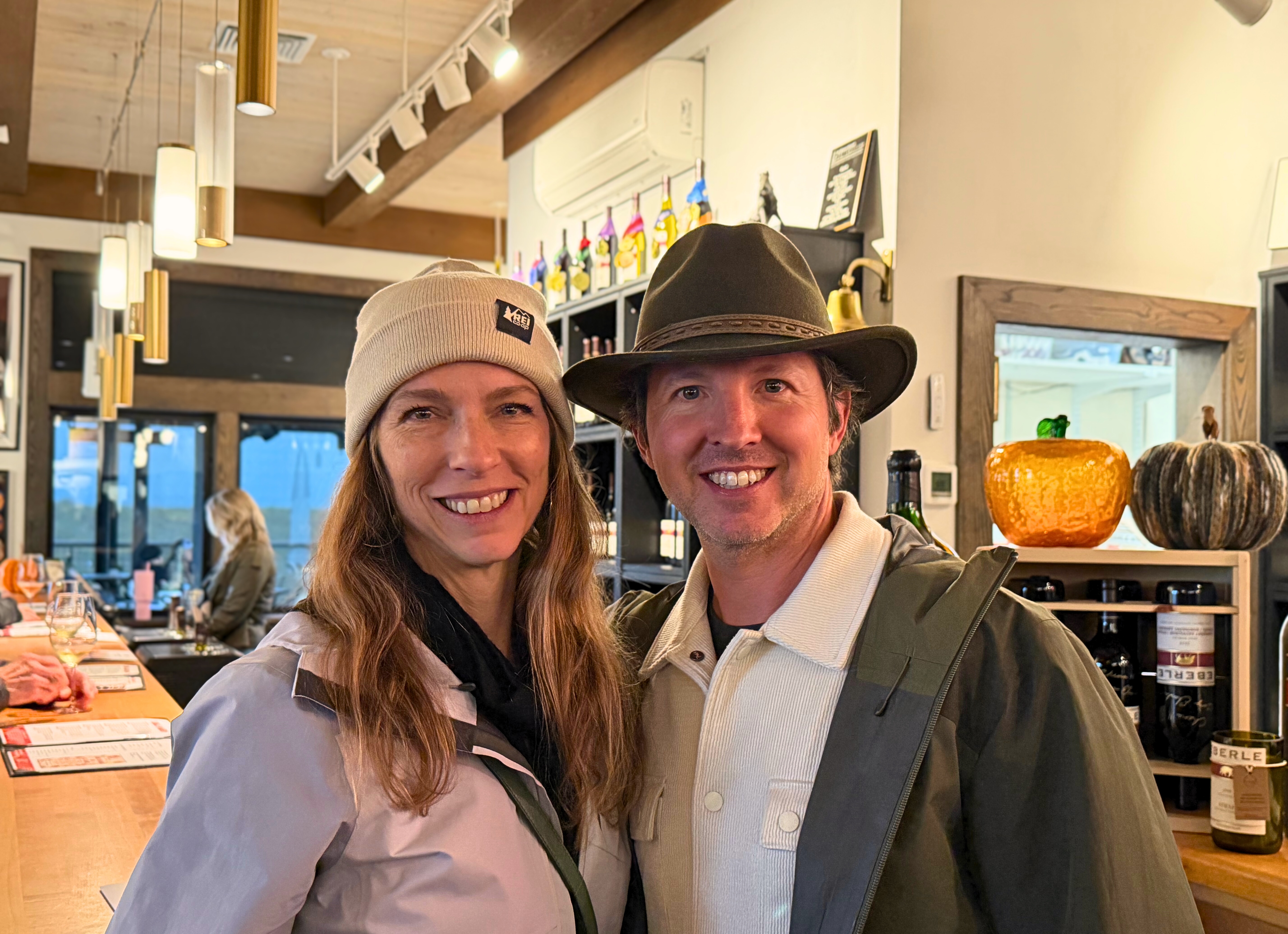 A warm pause in Paso Robles at Eberle Winery.
In Paso Robles, Finca made a practical and good lunch stop before Eberle, where the free tasting still feels unusually generous. The standout was the Steinbeck Syrah, with dried fruit, smoky oak, earthiness, medium tannins, and a lingering finish.
 A calm morning at Scout Coffee, where rain tapped against the window and cappuccinos warmed the wait.
The next morning in San Luis Obispo, we settled into Scout Coffee for warm cappuccinos while rain tapped softly against the windows before heading north. Monterey’s cold air suited the deep dish at Heirloom Pizza Co. In Carmel-by-the-Sea, Mad Dogs and Englishmen gave us coffee and banana bread before brunch at Pangaea Grill, where crab cake benedict and huevos rancheros made a relaxed close to the trip.
What the Coast Held Together
The Central Coast never asked us to pick one version of itself. Rain at Pinnacles, fog over Monterey, clear light in Carmel: each stretch of road changed the terms without changing the plan.
What held the trip together was not a theme we set out to find. It was the pattern underneath the weather: people working with what the land and the sea allow. Fishermen mending lines at Monterey. Growers reading soil and timing outside Paso Robles. A trail crew at Pinnacles that lets water carve its own path through the talus caves rather than fighting it.
We came away from a month on the road with a simple recognition. A good trip through this stretch of California does not need spectacle scheduled into every hour. It needs the discipline to let a bluff trail, a rainy dinner, or a birthday morning in a small town be enough on its own terms.
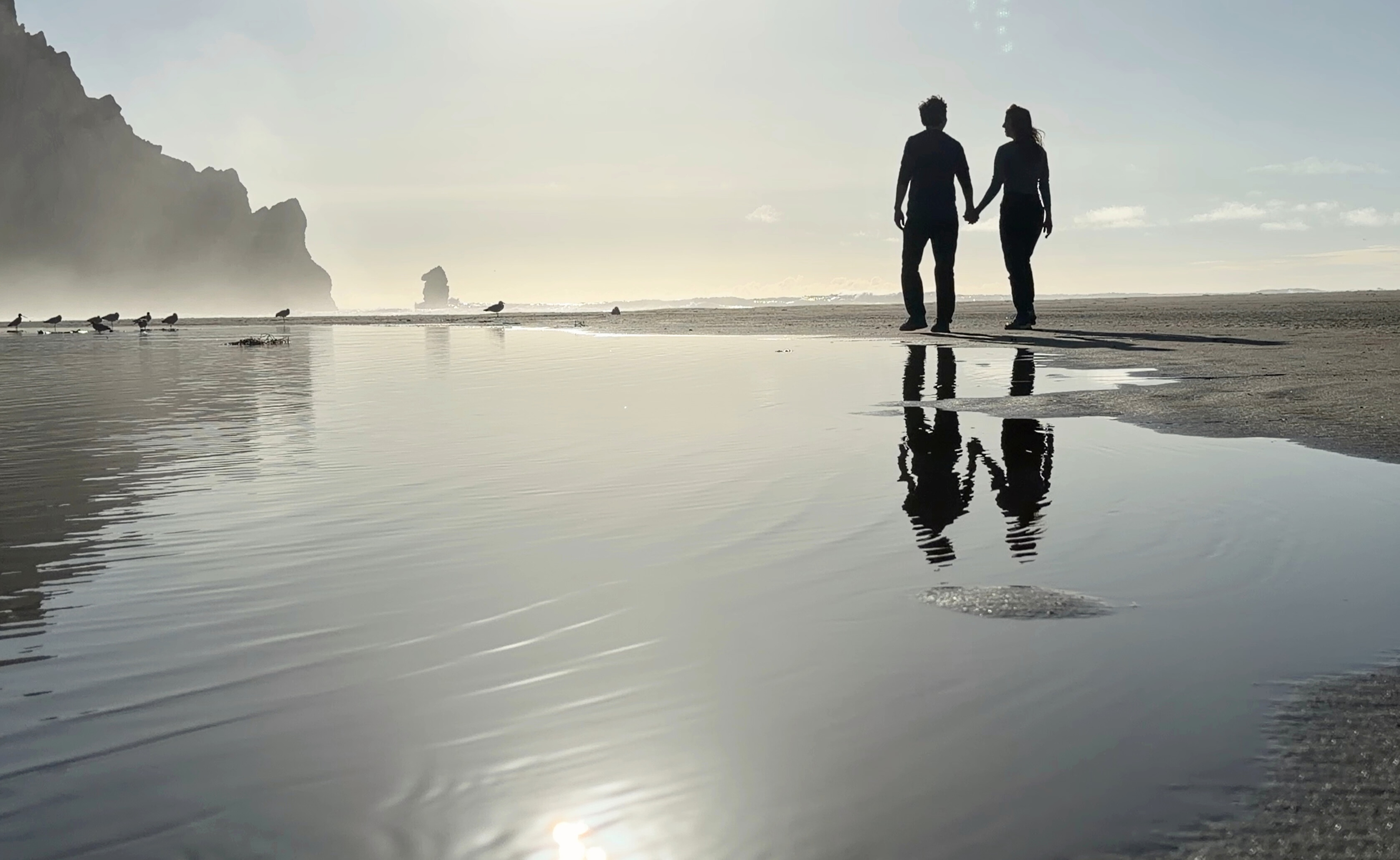 A slower stretch of coastline, walked at an easy pace before the drive home to Reno.
Practical Notes
November worked well for this route, but rain should be expected. It helped more than it hurt, especially at Pinnacles, Monterey, and Point Lobos.
Pinnacles is still worthwhile in wet weather, provided you have rain layers and a flashlight or headlamp for the talus caves.
San Luis Obispo makes a strong base for this kind of Central Coast trip. It gives easy access to Montaña de Oro, Morro Bay, Arroyo Grande, Paso Robles, and the route north toward Monterey.
Montaña de Oro and Morro Bay pair well in a single day without feeling rushed.
Monterey, Big Sur, Point Lobos, and Carmel are better with an early start. Highway 1 rewards time, and Point Lobos deserves more than a quick stop.
This route works best when the schedule has margin. Weather, wildlife, coastal pullouts, meals, and small towns all take more time than they appear to on a map.